
 01
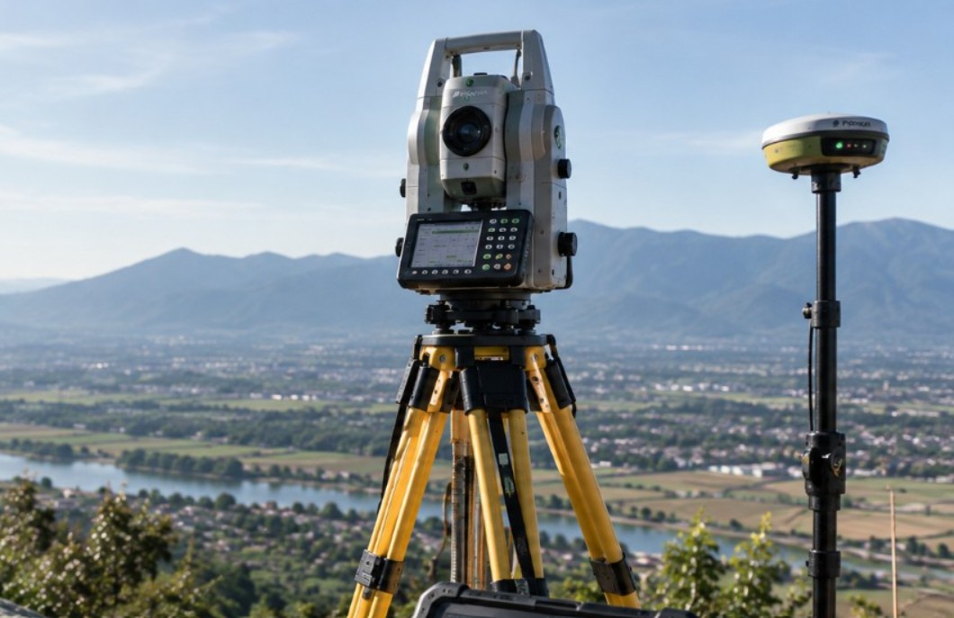
Terrestrial Surveying & Mapping
Control networks and detailed topographic data for design, construction, inventory, and map updates.
01
Terrestrial Surveying & Mapping
Control networks and detailed topographic data for design, construction, inventory, and map updates.
Terrestrial Surveying & Mapping
Control networks and detailed topographic data for design, construction, inventory, and map updates.
Control surveys and detailed topographic mapping to support design, construction, asset inventory, and map updates. Methods and accuracy requirements are aligned with the purpose of the work, site conditions, and applicable project standards.
- Control points
- Topographic maps
- Contours
“The data came in well organised, the methodology stands up to scrutiny, and their team patiently supported us right through the technical review.”