
Service Overview
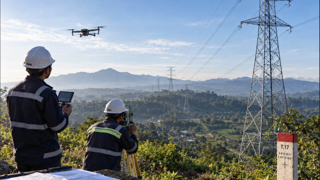
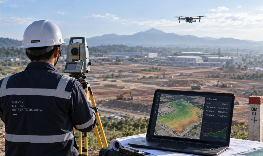
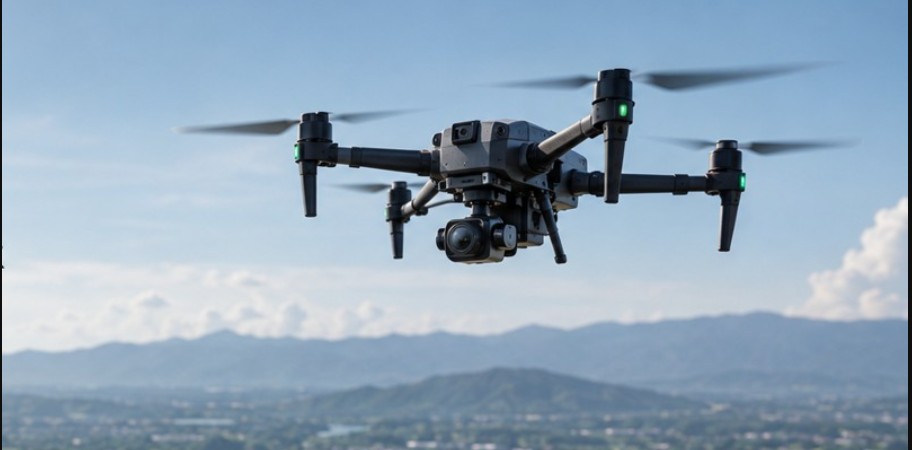
UAV-based aerial data acquisition for current, measurable representations of surface conditions. The data can be processed into orthophotos, elevation models, 3D models, and information for planning, inspection, and volume calculations.
Typical outputs include orthophotos, DSM, DTM, point clouds, 3D models, contours, and volume analysis. Scope, methodology, level of detail, and delivery formats are aligned with the purpose of each project.
- Orthophotos
- DSM and DTM
- Point clouds
- 3D models
- Contours and volume analysis