
Service Overview
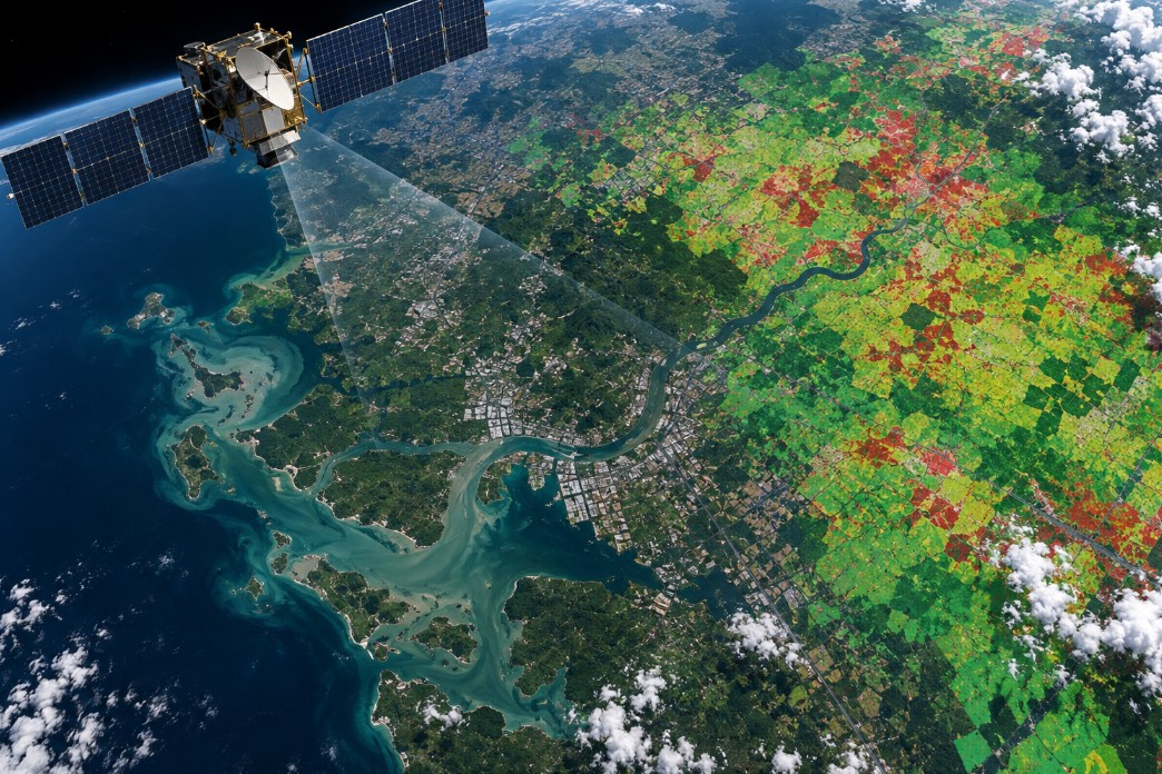
Processing of satellite or aerial imagery to produce thematic information and spatial indicators. Services include classification, change detection, suitability analysis, and area monitoring tailored to sector requirements.
Typical outputs include processed imagery, thematic maps, classification results, change indicators, and spatial interpretation. Scope, methodology, level of detail, and delivery formats are aligned with the purpose of each project.
- Processed imagery
- Thematic maps
- Classification results
- Change indicators
- Spatial interpretation