

Service Overview
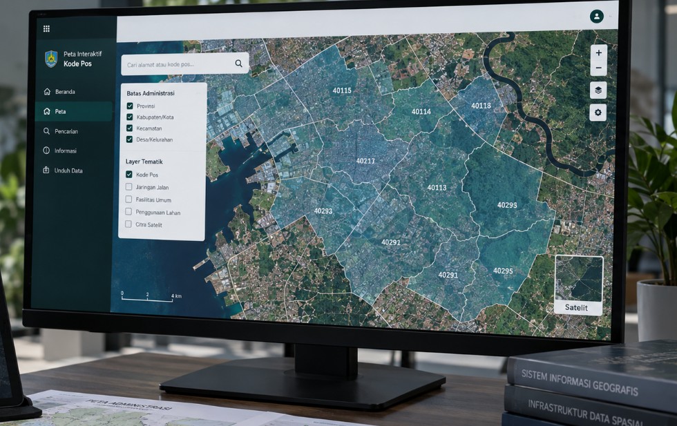
Design and development of systems for managing, visualizing, analyzing, and sharing geospatial data. Solutions may include spatial databases, WebGIS, dashboards, field applications, and integration with other data sources.
Typical outputs include database design, WebGIS applications, dashboards, APIs and integration, user documentation, and training. Scope, methodology, level of detail, and delivery formats are aligned with the purpose of each project.
- Database design
- WebGIS applications
- Dashboards
- APIs and integration
- User documentation and training